150 Years, One Map.
When La Plata County Economic Development Alliance gathered for its annual summit, the occasion was a big one: Colorado's 150th birthday. The question was how to capture the county's story in a way all of the county's residents could see themselves in it.
My answer was a vision map.
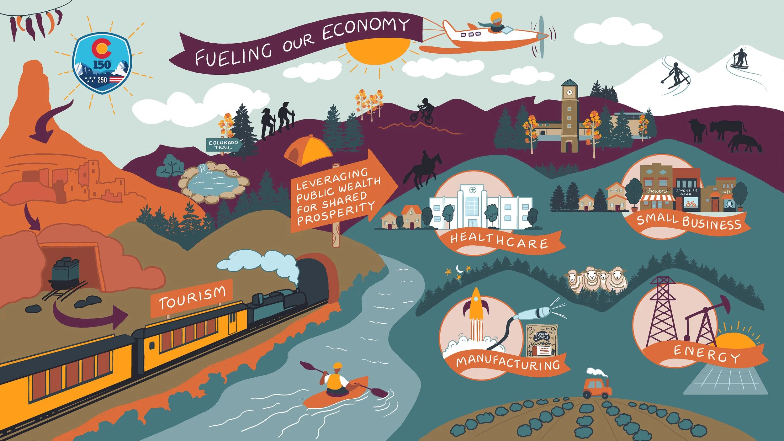
Rather than filling the page with text, we let the pictures do the talking. The map opens with the Indigenous cultures who were here first, moves through the mining boom that shaped the region, and winds into the tourism that put La Plata County on the map for visitors. Then it lands on today: the four areas driving the county's economy forward; healthcare, small business, manufacturing, and energy.
With only a few words, the whole timeline reads at a glance. A newcomer can follow it without a guide, and a longtime resident will spot their own piece of the story.
That's what I love about this kind of work. The illustration invites people to lean in, find a connection, and start a conversation. And it's a vision that not only inspires them today, but one they can refer back to for years to come.